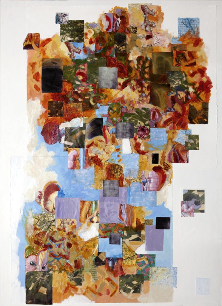
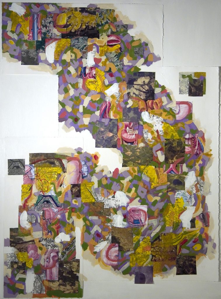
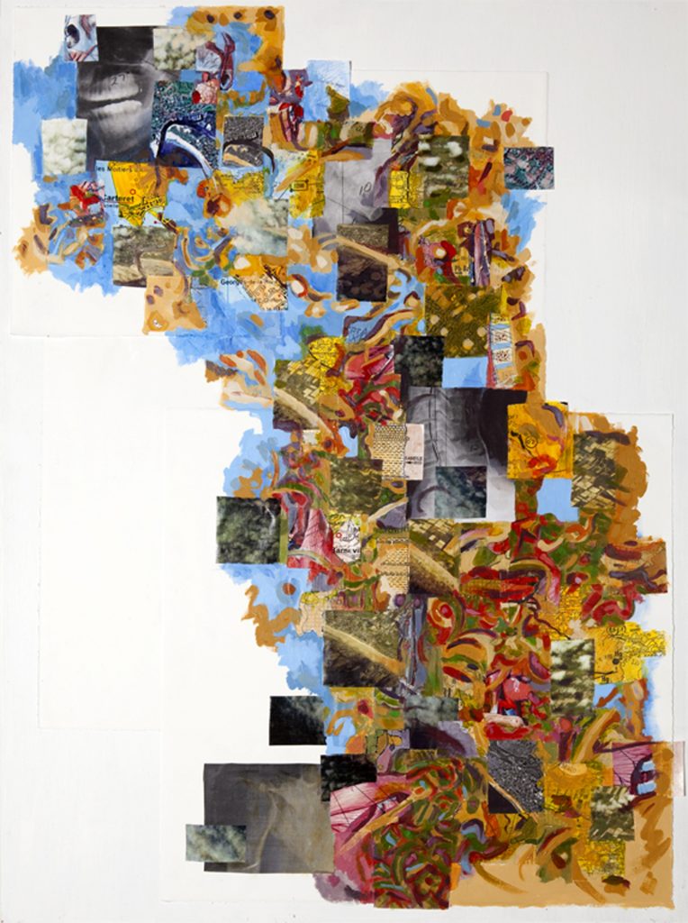
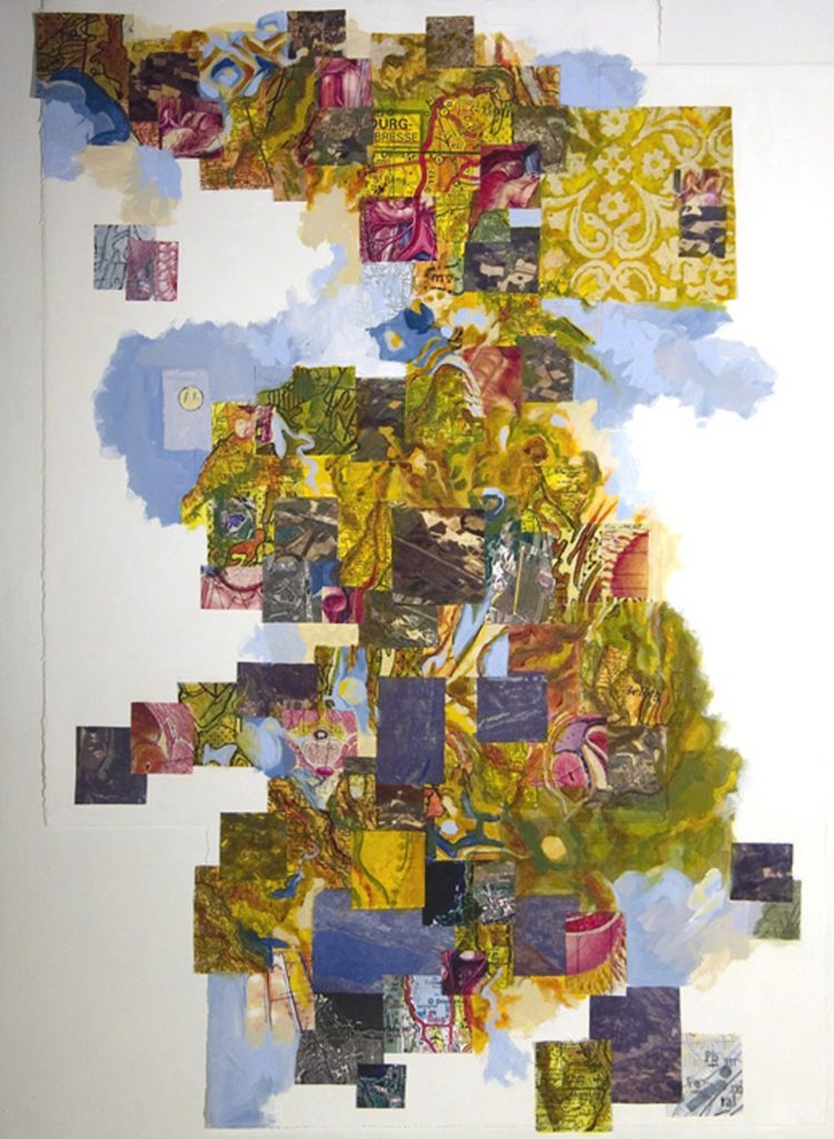
This series started with taking photos flying above France on an airline from Rome to Detroit. After downloading the images I went through the process of locating each place exactly using Google Earth and maps. I then gathered information specific to those places, including satellite images, and geological maps. References to a relationship between land and the body, pattern and abstraction were also investigated and added.
All of this visual information was cut into pieces and arranged in order reflecting my path of travel across the country. Painting on top was the final stage as I worked to unite, blend, clarify, obscure and work in response to the developing painting.